glasgow-fpv-land-search
Satellite views of the shortlisted sites
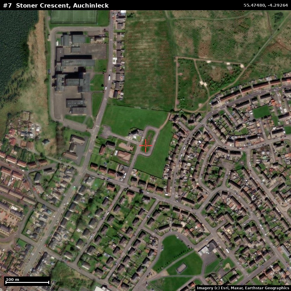
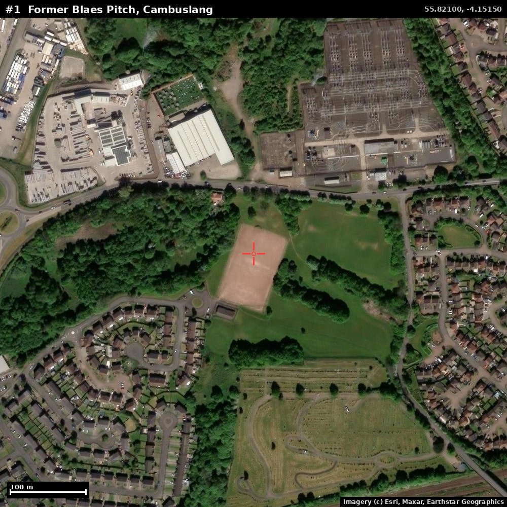
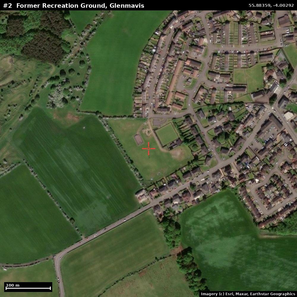
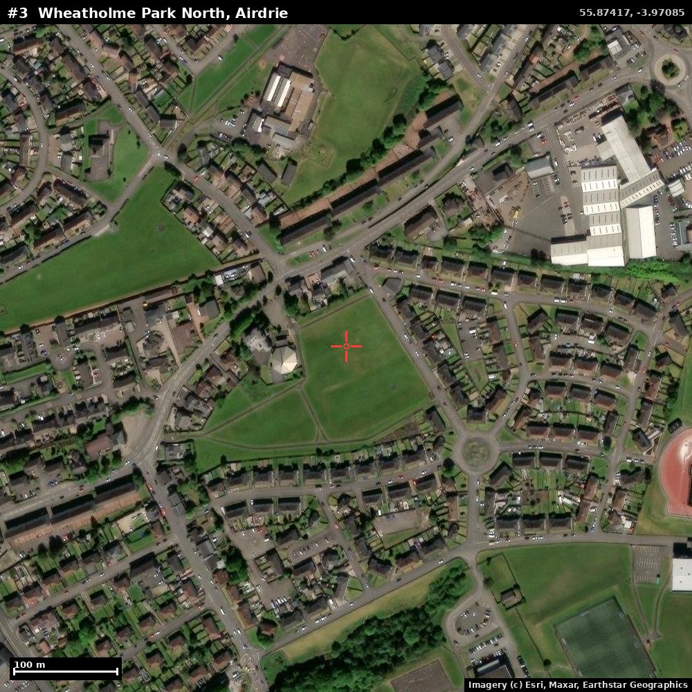
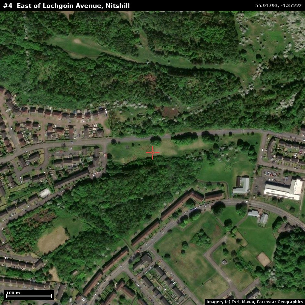
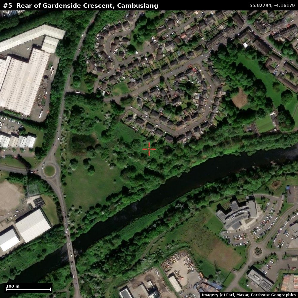
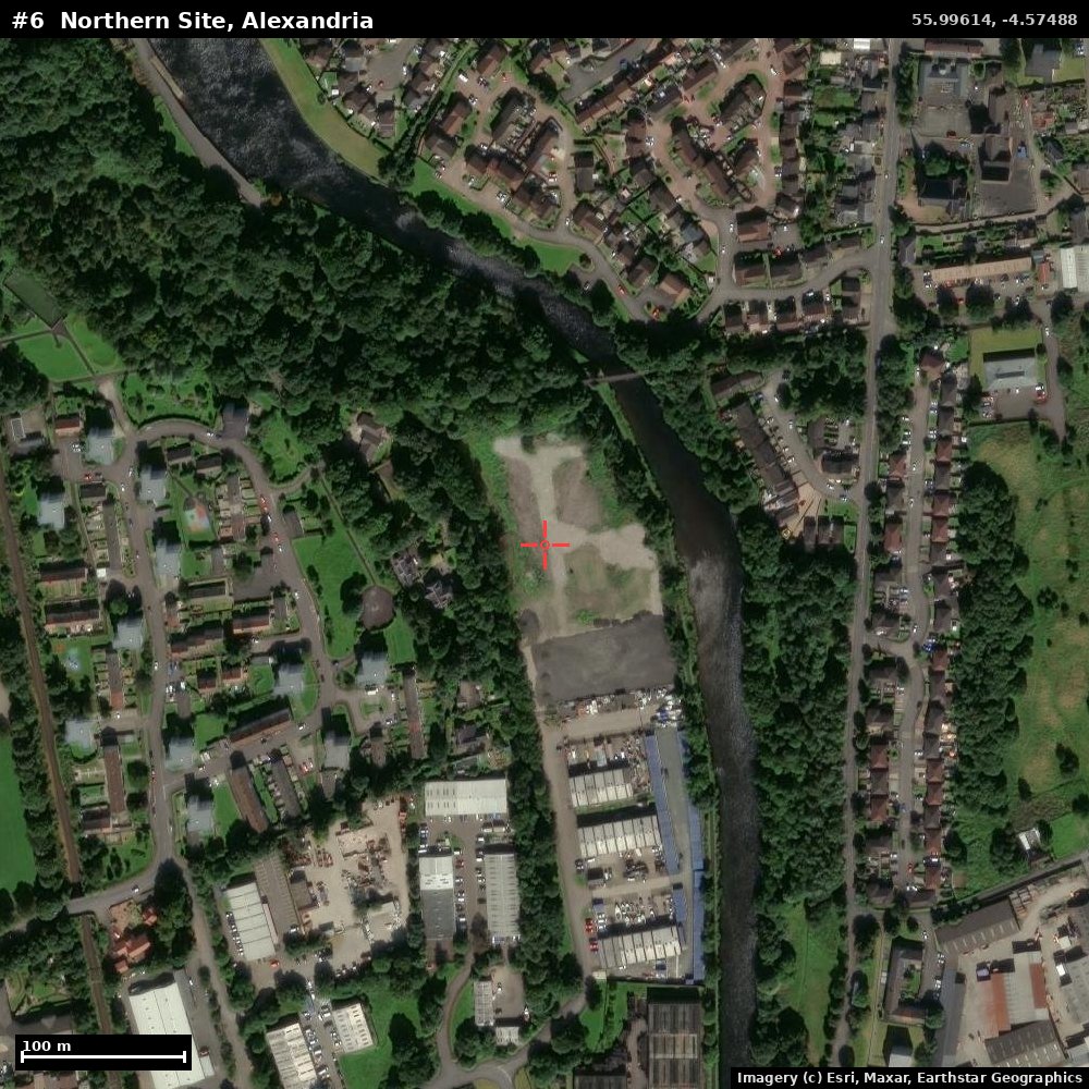
Free Esri World Imagery, stitched and annotated by
analysis/fetch_satellite.py. The red
crosshair marks the exact site centroid from the survey; each frame is ~670 m
across (100 m scale bar, bottom-left). Cross-check against the live
Google Maps links in REPORT.md before relying on any of these.
Imagery © Esri, Maxar, Earthstar Geographics and the GIS User Community.
1. Former Blaes Pitch, Cambuslang ⭐ (top pick)
The crosshair sits on a red-blaes football pitch ringed by open green space — a near like-for-like with the Craufurdland plot.
2. Former Recreation Ground, Glenmavis
3. Wheatholme Park North, Airdrie
4. East of Lochgoin Avenue, Nitshill
5. Rear of Gardenside Crescent, Cambuslang
6. Northern Site, Alexandria
7. Stoner Crescent, Auchinleck (East Ayrshire option)